


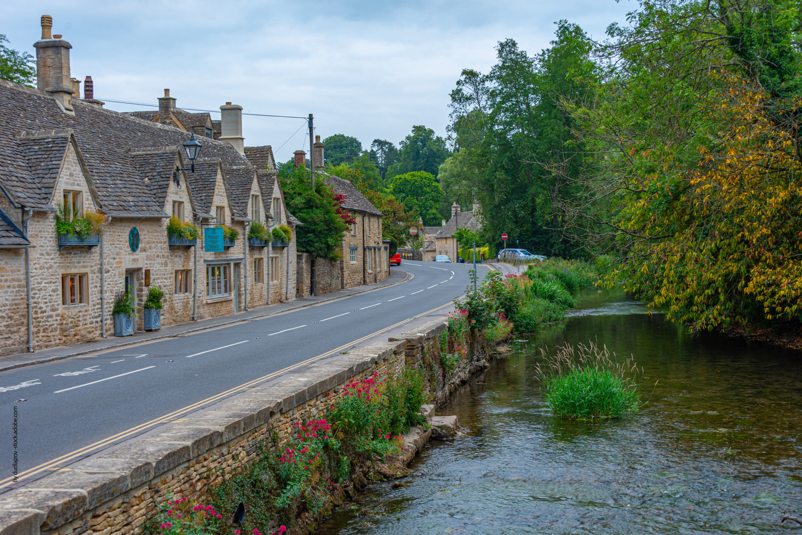

A delivery route that works in a market town falls apart in rural Oxfordshire. Stops spread out. Roads narrow. Signal disappears on the stretches where communication matters most. Managing a fleet across multiple rural counties requires a different kind of visibility than urban logistics demands.
Fleet tracking closes that gap. Not by making rural roads simpler, but by giving transport managers accurate information about where vehicles are, how they are performing, and where the schedule is already slipping before it becomes a problem.
Why Rural Fleet Management Differs from Urban Operations
Density is what urban logistics runs on. Many stops, short gaps, predictable roads. Rural operations invert every one of those conditions. Drivers cover significant ground between each stop. Fuel cost per delivery rises when distances are long. The margin for inefficiency shrinks at exactly the point where inefficiency is hardest to avoid.
Narrow lanes do not appear on most route algorithms as a variable. Weight-restricted bridges get discovered by drivers who did not know they existed. Unmarked farm tracks show up on maps as roads that turn out to be something else entirely. A driver unfamiliar with a route loses time. That lost time runs forward through every stop that follows.
Signal drops across parts of rural Oxfordshire and the surrounding counties are not unusual. For some routes, they are simply part of the working day. A driver who breaks down on a remote track and cannot reach base has a problem that no manager wants to discover late. The device can record the trip regardless of connectivity and upload when the signal returns.
Rural road safety carries weight that urban operators do not face in the same way. Department for Transport figures have shown rural roads accounting for around 60 percent of road fatalities in Great Britain, despite carrying a smaller share of overall traffic. Higher speeds, narrower carriageways, and fewer safety features define the environment these drivers work in every day.
Route Planning Challenges Across Multiple Counties
Rural roads change with the calendar in ways that no static route plan accounts for. July and October are different operations. Harvest activity blocks lanes that were clear in spring. Livestock crossings add unpredictable delays. Slow agricultural machinery on a single-track road turns a ten-minute drive into forty. None of that appears in a standard navigation estimate.
Terrain shifts fuel consumption in ways that only become visible through data. A hilly run through the Cotswolds asks more of an engine than flat ground. A vehicle consistently burning more fuel on a specific route is telling the operator something. Mechanical issue, driving pattern, route design. The signal is there. Most manual systems miss it.
Coordinating deliveries across Oxfordshire and into neighbouring counties requires data at route level, not just vehicle level. Vehicle fleet tracking tools make consumption by route, stop duration, and planned versus actual journey time visible in one place. Decisions that previously depended on driver feedback start depending on recorded figures instead. That is a different quality of information.
Seasonal Variations in Rural Delivery
Winter removes road options without warning. A minor road passable in September becomes impassable after a week of frost. Farm tracks that serve as useful shortcuts in dry weather turn into mud by November. A contingency route planned before the season starts takes minutes to prepare. One improvised by a driver already running late costs time, fuel, and frequently a missed window.
Summer replaces one problem with another. Tourist traffic can change the rhythm of deliveries around Oxfordshire and the Cotswolds between June and August. Delivery windows that worked in April stop working in July without adjustment. The pattern repeats each year. Operators who track journey time data across seasons have the evidence to adjust before the disruption arrives. Those who do not find it in their delay reports instead.
When Vehicle Problems Are Harder to Recover From
Rural vehicles accumulate mileage faster than urban equivalents. More miles means tyres, brakes, and engines wearing faster than a city fleet schedule anticipates. A maintenance interval designed for shorter routes can leave rural vehicles running longer between checks than their condition warrants.
The consequence of that gap is a breakdown in a location where recovery takes significantly longer than it would near a town. Rural recovery can take more time, and the delay often affects the rest of the route. Catching the warning signs before the breakdown costs less in every category.
Real-time vehicle health data gives managers visibility into fuel consumption changes, driving behaviour shifts on familiar routes, and mileage accumulation that triggers maintenance rather than waiting for a service date. Acting on that data early is not cautious operations management. It is cheaper operations management.
Driver Communication and Safety in Remote Areas
Standard phone contact fails in areas where signal is unreliable. A fleet tracker that lets drivers log updates through an app, syncing when connectivity returns, keeps records accurate without depending on a live connection. The record exists regardless of what the signal was doing at the time.
Geofencing solves a specific problem that rural operators in Oxfordshire encounter regularly. Farms and agricultural suppliers often have addresses that standard navigation does not map accurately. A geofence placed around a farm entrance records arrival and departure automatically. The driver does not need to log anything. The record generates itself.
Lone worker risk can be higher on remote routes than in urban areas. A driver who stops responding on a farm track in north Oxfordshire is in a different situation from a driver stopped on a city street. GPS location sharing can make it easier to identify where help may be needed. Regular check-in systems, even basic ones, create a safety net that does not depend on the driver initiating contact.
Rural routes ask more of drivers than urban ones. Longer distances, less infrastructure, fewer people around when something goes wrong. A fleet tracking system that keeps managers genuinely informed is part of how responsible operators meet their duty of care to people working alone in isolated conditions.
Rural delivery work will always carry delays that cannot be removed completely. Narrow lanes, weak signal, seasonal traffic and long gaps between stops are part of the job. The difference is whether managers see those problems early enough to act. For operators working across Oxfordshire and neighbouring counties, fleet tracking is less about watching vehicles move on a screen and more about keeping routes, drivers and decisions visible when the road stops being predictable.