


With a focus on land management efficiency and enabling less human disturbance in wildlife areas, we spoke to regular OX contributor James Gillies about how drone technology is helping him with conservation projects across the region.
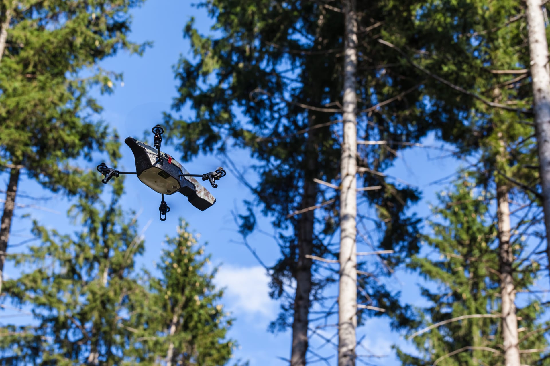
“Drones had been getting a bad time in the media – largely due to misuse around airports – however their usage in an assessment capacity cannot be understated. Drone surveying means the process is far less time consuming and previously inaccessible areas can be surveyed very quickly.
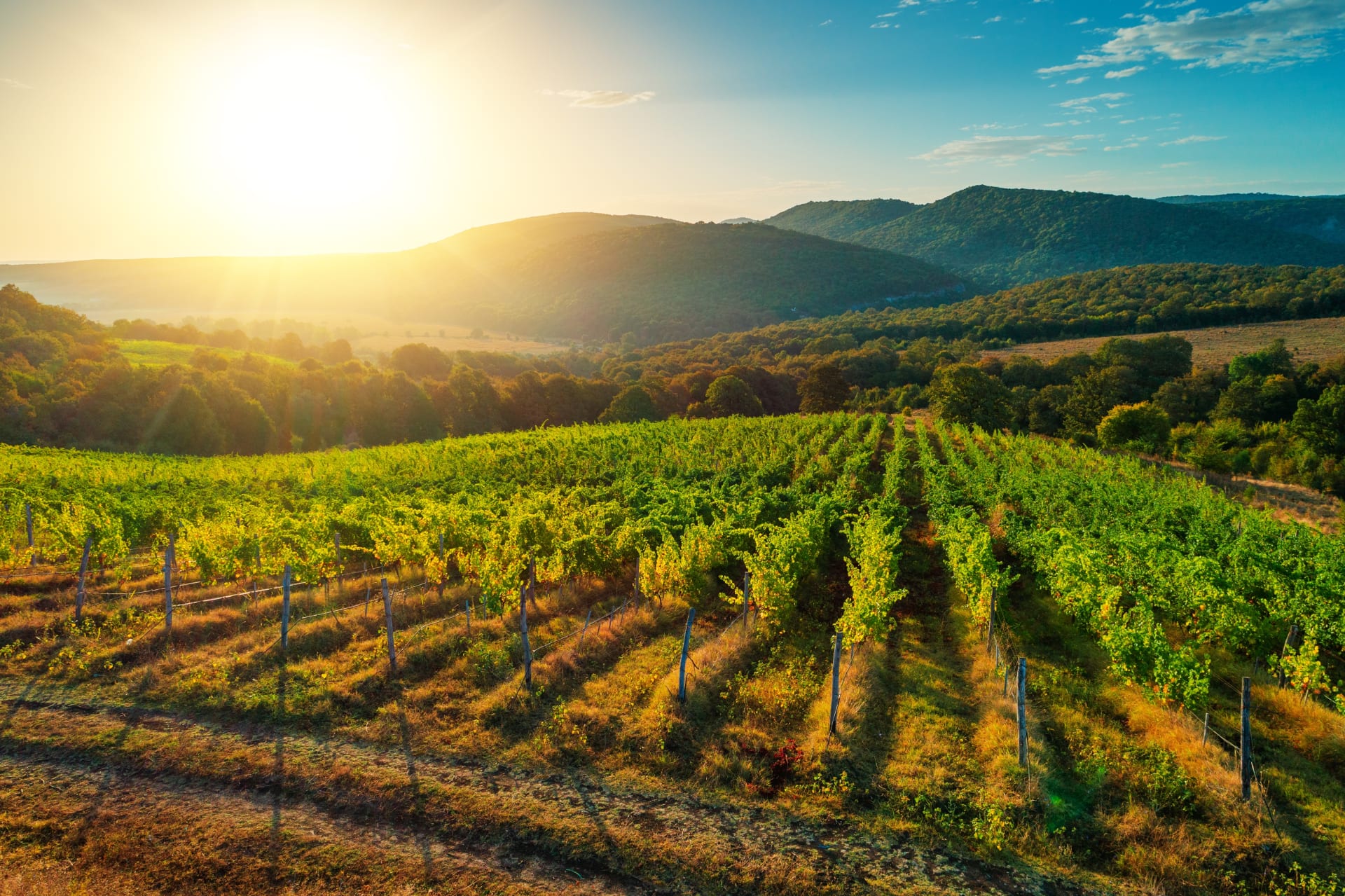
Using drones has enabled us to complete surveying of large woodlands and lakes which once would have been undertaken in teams, sometimes taking weeks. It can now be completed in a matter of days. Allowing us to assess the situation in inaccessible areas of rivers, wildlife preservation areas etc. means that we are able to keep a close eye on projects without needing to disturb the wildlife itself.
We have previously spoken a lot about Ash Die-Back and the effect it can have when spreading though woodlands; we are now able to survey suspected outbreaks and susceptible areas aerially which means the identification process is much swifter and the landowner is able to take action much sooner than may otherwise have been the case.
At the beginning of the year, high winds and storms presented a lot of landowners and famers with issues, damage being widespread to trees, rooves and outbuildings. We were able to do surveys quickly and efficiently with our drones ensuring landowners weren’t left for long with storm damage and dangerous unresolved situations. There were many trees blown into roads, buildings and rivers and the effect in woodlands was equally damaging. Using our drones to survey land ensured that the issues were dealt with safely and swiftly.
We also use drones regularly to assess the situation with rooves, especially in inaccessible areas and large industrial buildings. Without the use of drones, your options would be to hire a cherry-picker or to put a person on the damaged surface. The much less dangerous solution, however, is to perform a roof survey with a drone, ensuring safety to people and property, not only saving money and time but providing an up-close view of the damage with high-resolution video footage and photographs.”
James achieved his PfCO (Permission for Commercial Operations) from the Civil Aviation Authority in October 2019 having passed all the relevant checks and tests.
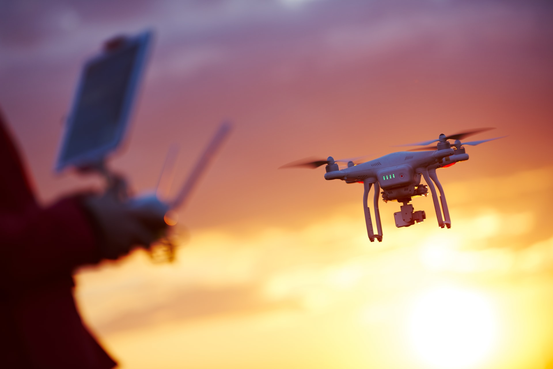
“There is much talk about drone licenses and licensed drones. Neither actually exist. Drones (alternatively called UAV’s or Unmanned Ariel Vehicles) are not themselves registered. The operator and the pilot of the drone must be registered with the CAA and have been trained with PfCO for flying commercially. Drone pilots have protocols and rules to obey such as not flying in restricted airspace and ensuring you have landowner permission prior to flying. Anyone undertaking commercial drone work must be fully registered and insured.”
To find out more about drone surveying and to see examples of drones in action you can visit james-gillies.com